|
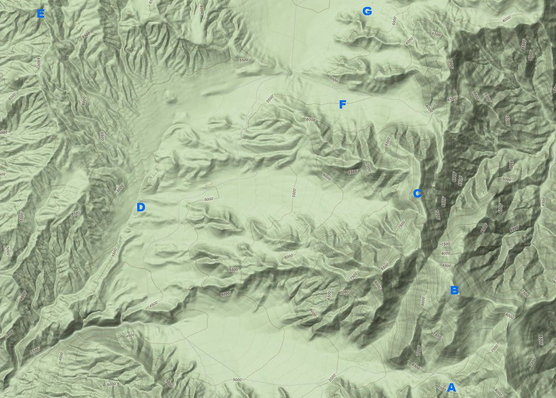
The main sites of interest in this area are:
|
Wildrose Peak and the Charcoal Kilns are the two most prominent sites of
interest in this area. However, also included in this area are several other
sites of interest. Vehicular access is pretty good for most of these sites.
Wildrose Peak and Pinto Peak are the most notable exceptions. Also southwest
of the kilns is Hummingbird Springs, which requires a couple miles of hiking
to reach.
(continued) |
There are actually two Wood Canyons within close proximity to each other. The Argus Range has its Wood Canyon, located between Revenue and Snow Canyons. The Panamint Range also has its Wood Canyon, located between Wildrose Peak and Aguereberry Point. A dirt road runs the length of the canyon from Wildrose Road all the way to the crest of the canyon where it meets Trail Canyon from the Death Valley side of the Panamints.
And let's not forget about A Canyon. Yes, there is a canyon called A Canyon! A Canyon is just south of Wood Canyon.
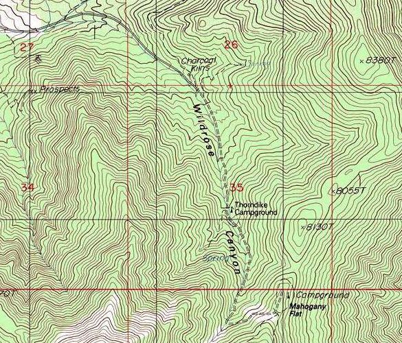
This map shows the section of dirt road leading up to Mahogany Flat. Along the road are the Charcoal Kilns and Thorndike Campground. Behind the kilns there is a trail leading up to a spring. Across the road from Thorndike is a trail leading up to another spring.