The main sites of interest in this area are:
|
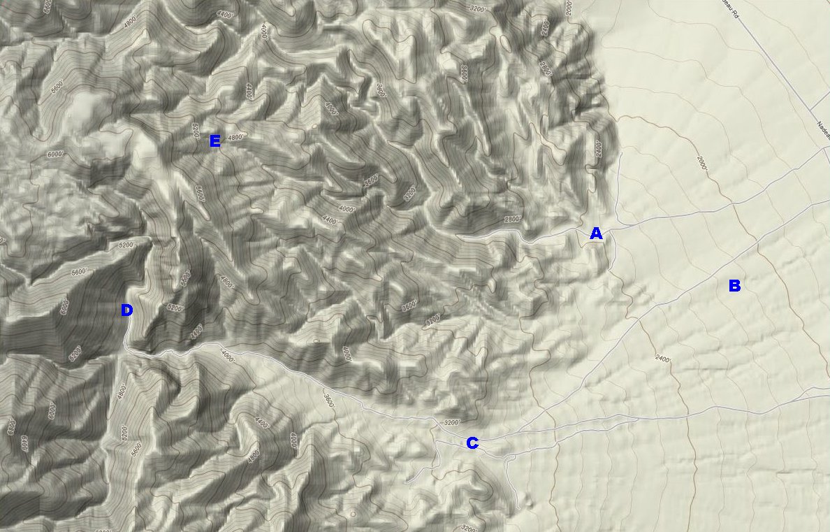
Separate dirt roads lead to Bendire Canyon and Knight Canyon from Nadeau Road. Both roads end at the mouth of each respective canyon. BLM gates mark the points where legal vehicular access ends. Roads continue up each canyon. In Knight these roads branch off in a couple of directions. Although there is a side road that takes off to the south near the mouth of Bendire Canyon, the main road just continues up the canyon until it reaches a fall area. The Panamint Crater is located a short distance south east of the limestone quarry near the mouth of Knight Canyon. |
Panamint Crater was discovered in 1947 and extensively studied in the early 1960's. A study conducted by Robert Dietz and Edwin Buffington was unable to reach a conclusion concerning the origin of the crater. The possible hypotheses include meteorite impact, volcanic action, or limestone sinkhole. There is a limestone quarry in the immediate vicinity. The crater measures 230 feet across and it is about 40 feet deep.
The limestone quarry located just south of the mouth of Knight Canyon was in operation up until the mid-1980's.
The Kelly brothers operated a copper mine in Knight Canyon during the early 1970's.
It is a 4.75 mile hike (one-way distance) from the BLM gate to the end of the road that travels up Knight Canyon.