Slate Benchmark
HOME
PLANTS
SITES
INFO
BLOG

DISTANCE: 6.5 miles
GAIN/LOSS: 2000 feet (approx)
HIGH POINT: 5052 feet
LOW POINT: 3010 feet
BEST TIME OF YEAR: Late October to April

      Although Slate Benchmark is not the highest peak in the Slate Range which is open to the public, it is a neat hike just the same providing that you are able to find the miner's trail which leads to the peak. The map provided for this hike shows the route as recorded using a GPS device. The route follows a wash at the beginning, but then a sketchy trail continues up until just below the peak.

Yuccas by trail (click to enlarge)

IMAGES:
Slate Benchmark (May 2013)
TRAILHEAD: Drive 3.6 miles north from the Inyo County line marker on Trona Road (Highway 178) and turn right (east) onto P68 at the "Valley Sand and Gravel" sign. Along the way from the highway to the trailhead P68 veers left at 1.9 miles (just before the sand and gravel plant) and passes by roads which go off to the right at 3.4 and 3.6 miles. There is also a steep hill to climb over along the way which will probably be best negotiated in four-wheel drive. Park at approximately 5.4 miles from the highway at a large pullout located just before the road heads downhill. High clearence is required most of the way to the trailhead.
HIKE DIRECTIONS: From the trailhead drop into the canyon immediately to the north. There is actually a steep trail right by the trailhead that you can use to descend into the canyon. Hike up the canyon (more or less east) for nearly a mile to the top of the canyon (highlighted in orange on the map) and then follow a ridge which heads off to the south. You should start seeing a faint trail at this point. The trail (highlighted in blue) becomes much more visible as you proceed. The trail passes by the stone remains of a small hut at about two and a half miles from the trailhead. There are stretches where the trail is strong and others where it is very faint. Follow the trail until a little more than three miles from the trailhead and then turn west and hike up to the peak.


Notes and Variations:
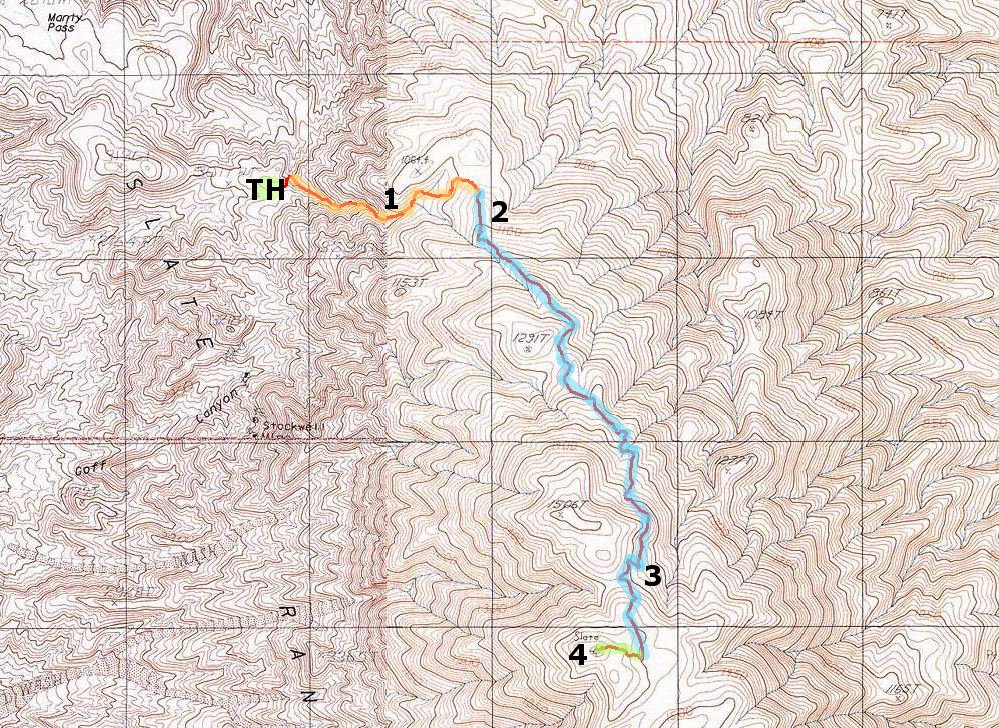
1. The first mile of the hike follows a wash along the canyon bottom. Stay in the main canyon the full distance to the top of the canyon.

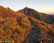
2. Once you reach the top of the canyon follow a steep ridge. No trail may be visible for the first couple hundred yards, but then it becomes faintly visible on the way up the steep ridge and eventually becomes an easily recognizable trail.

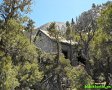
3. There are a few places where the trail is easy to lose. One such place is shortly after the hut where the trail drops into and follows a gully for a hundred yards or so. The other is around 4800 feet, shortly after you 
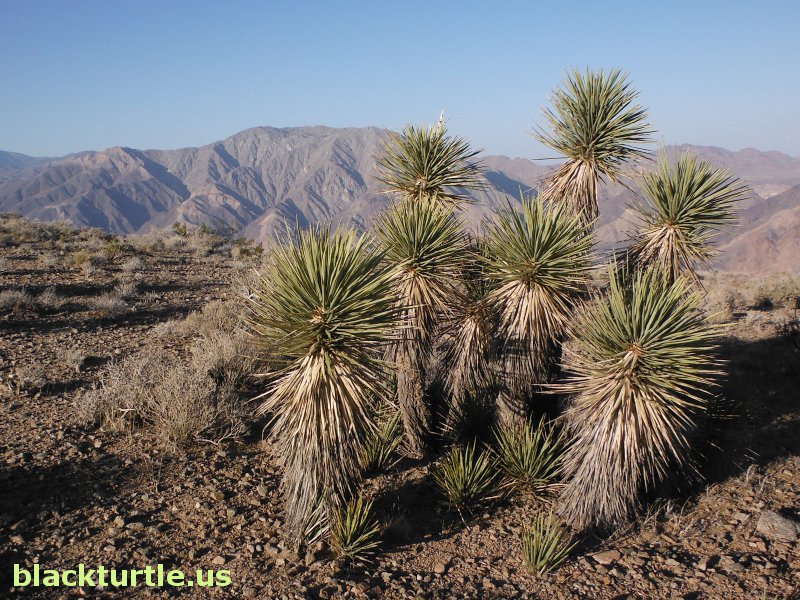
encounter the first yuccas. (There is actually also some ambiguity shortly before you reach the yuccas.)

4. The trail continues south beyond Slate Benchmark without actually detouring to hit the top of the peak. The last quarter of a mile of the hike requires a short and easy off trail stroll up to the peak.

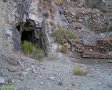
Stockwell Mine - It is possible to begin the hike from the Stockwell Mine and to hike up the canyon rising to the north near the Stockwell Mine and intercept the trail when you reach the ridge. The starting point in this case is only slightly lower than the recommended trailhead.

Bundy Canyon - Although any of the canyons south from the Stockwell Mine can be used to get up to the top of the Slate Range, Bundy Canyon provides sections of trail and a relatively easty way to reach the top of the range.


Click map to enlarge in new window!


HOME
PLANTS
SITES
INFO
BLOG


CLICK TO WATCH:


CLICK TO WATCH:


CLICK TO WATCH:

Entire site,
Copyright
©
2003-2024
blackturtle.us