|
TRAILHEAD:
Although there are alternative trailheads for this hike, the suggested
trailhead is Reilly (elev. 2710'). The easiest way to get to Reilly is to turn onto the
dirt road west of the highway about a half mile south of Nadeau Road.
(Powerlines cross the highway at this point.)
Continue north on this road (P105, also known as Nadeau Trail)
for 1.1 miles and then turn west and drive 1.85
miles to the end of the dirt road. Alternatively, drive .65 miles north on
Nadeau Road, turn left onto dirt road. Drive 0.2 miles on this first road
and then turn north and drive 0.2 miles north to the road that heads west 1.85 miles
|
to Reilly.
Although the alternative route requires less driving
on dirt, the dirt road .65 miles up Nadeau Road is difficult to spot. (This
is probably due to the fact that it is not marked and as a result there are
several parallel tracks which have been improvised over the years.)
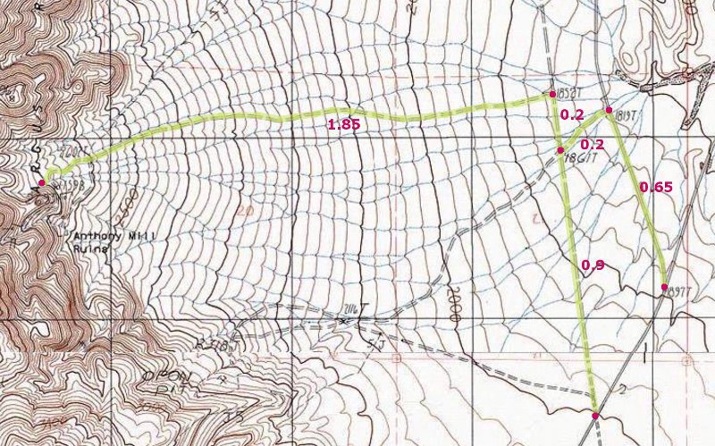
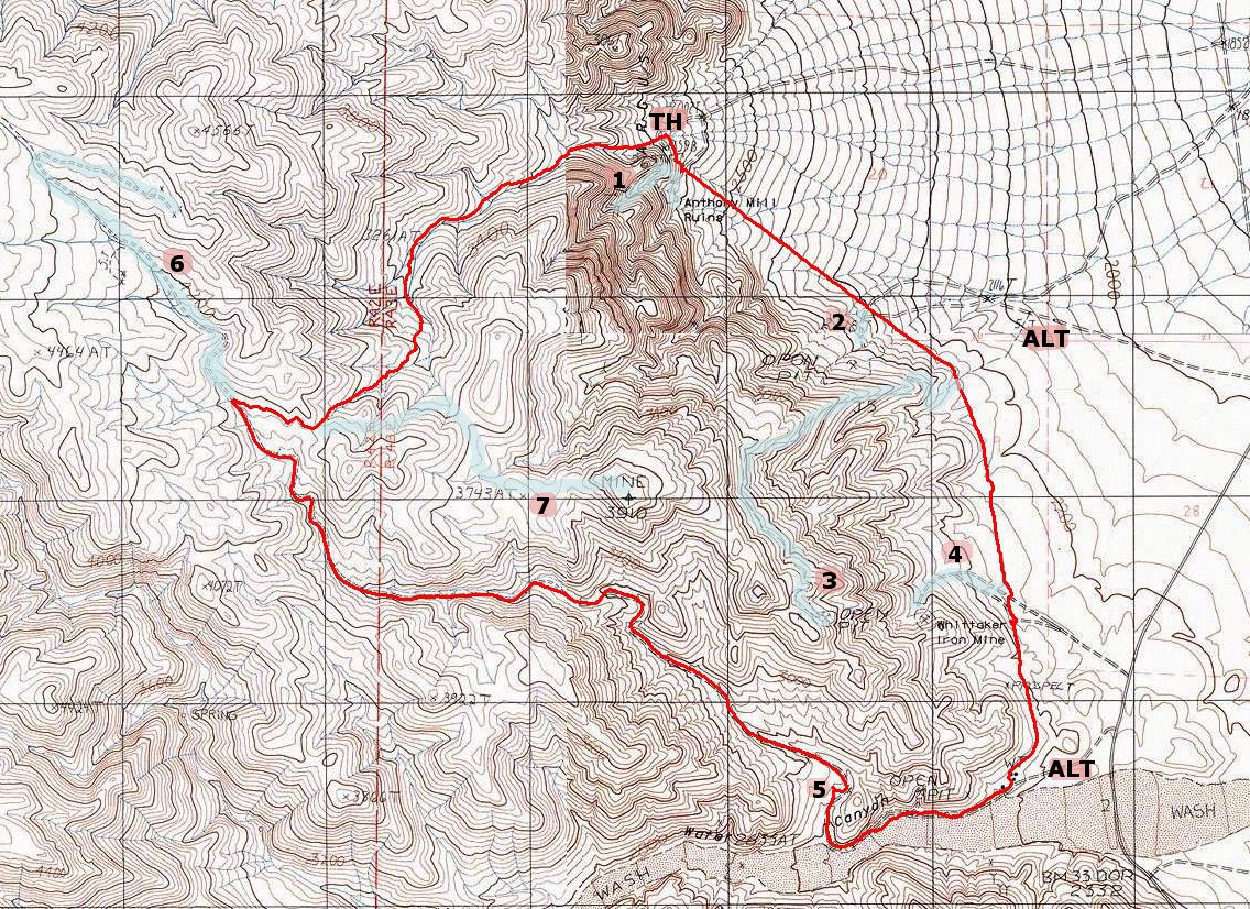
Click map to enlarge in new window!
|
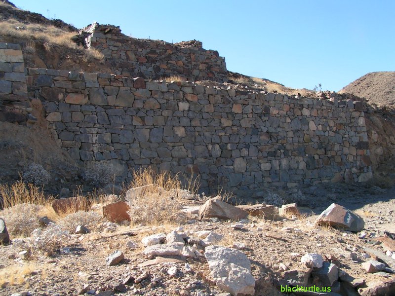
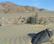
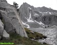
At the mouth of Water Canyon (elev. 2450') turn west and walk up the canyon 0.6 miles to a
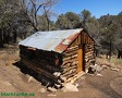
road (elev. 2560') which takes off to the north. A short distance up the road are the
remains of a couple of small stone structures. Over the next couple miles
many donkey trails and old mining roads are visible as you hike up the
road. After hiking a total of 6.1 miles from Reilly (that's 2.9 miles on the
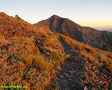
road), a donkey trail (elev. 3980') is reached. The donkey trail takes off
to the east and follows a ridge for about three-tenths of a mile to a saddle
at an elevation of about 4050 feet. From here the donkey trail branches off
in three directions. Take the route that drops into the canyon to the
northeast. Follow this canyon for 1.7 miles back down to Reilly.
Suggested Variations:
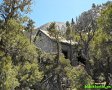
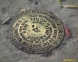
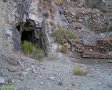
1. Explore Riley - Not only are there the remains of lots of stone
structures, but a road leads off to the west to some old mine tunnels.
2. Sea Silica Mine - It just a short hike from the water line to the Sea
Silica Mine. There are some old mining apparatuses still there and a lot of
white mineral stuff to inspect.
3. Road to Mine - The road up to this mountaintop mine is quite steep and it's
over a mile long. Walking down this road is a little tricky in spots due to
poor traction. Be careful not to slip and fall!
4. Whittaker Iron Mine - It's just a short hike up the road to this old mining
area.
5. Stone Structures - There are two old stone structures just off the road
worth a quick inspection.
6. Road to Shepherd - Continue up the road towards Shepherd Canyon for
another mile or so. The road actually connects to a branch of Shepherd
Canyon which can be followed down to Shepherd Canyon and on down to a road
which leads to Reilly from the north. This would lengthen the loop to over
twelve miles.
|
7. Donkey Trail - From the saddle at the top of the canyon leading down to
Reilly, follow the donkey trail due east. It snakes around a mountain and
then heads south and then east again to a mountaintop mine. This ridge can
be followed to the other mountaintop mine, BTW.
8. There are two alternative trailheads for this hike. The easiest to get to
(and the one recommended if your vehicle does not have high clearance) is
the mouth of Water Canyon. The second is the "Kitty Litter" sign. To get to
this sign, turn onto the dirt road west of the highway which is a half mile
south of Nadeau Road, but instead of driving straight north, turn west after
less than 100 yards and continue west about three-quarters of a mile to the
aforementioned sign which is at a trail junction with the road leading to
the mountaintop mine mentioned in Variation #3.
Click map to enlarge in new window!
|