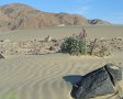
ISHAM CANYON EAST LOOP
DISTANCE: 6.0 miles
GAIN/LOSS: approximately 1000 feet
HIGH POINT: 3040 feet
LOW POINT: 2100 feet
BEST TIME OF YEAR: October through April
This loop hike utilizes several dirt roads which are open to vehicles, but
it also passes through a couple roadless canyons. The hike begins at the
mouth of Isham Canyon and after hiking a short distance along the base of the Slate
Range, the route veers up an unnamed canyon and follows the canyon to the road which
leads to Fish Canyon (P68). The route eventually goes by Manly Pass and then
drops into Isham Canyon via a side canyon and finally follows P67 back to the trailhead.
|
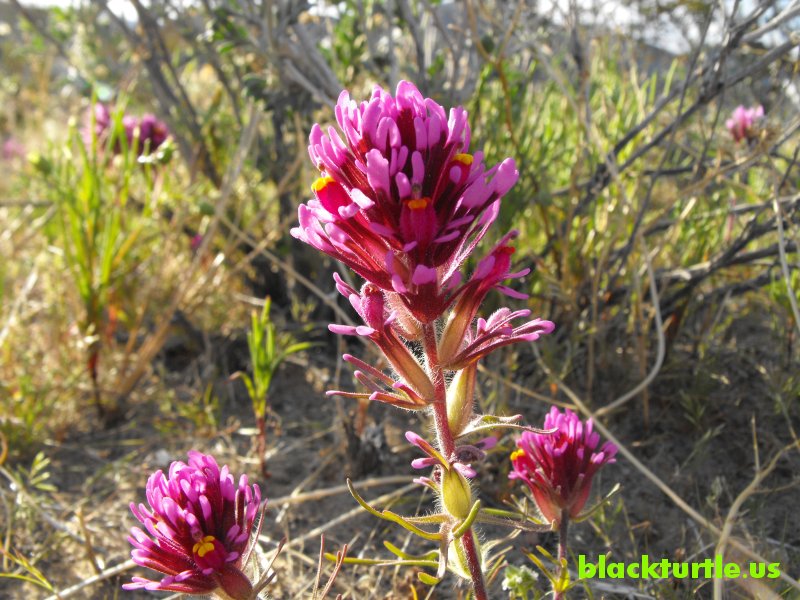
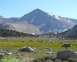
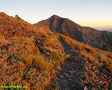
Owl's Clover near Manly Pass
(click to enlarge)
IMAGES:
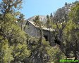
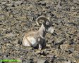
Isham Canyon Area
|
TRAILHEAD: Drive 3.6 miles north from the Inyo County line marker on
Trona Road (Highway 178) and turn right (east) onto P68 at the "Valley Sand
and Gravel" sign. Drive 1.7 miles and turn
left (north) onto P67. P67 is not always properly signed, but it can be found at
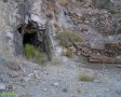
the bottom of a dip just before the ruins of some kind of ore
processing facility are reached. In fact, after turning left onto P67 you drive right
by some of these ruins as you head off to Isham Canyon. Shortly after
passing through the ruins make sure to stay left where an illegal road
continues more or less straight ahead. The mouth of Isham Canyon is reached after
about 1.4 miles. Park a couple hundred yards short of the mouth of the
canyon.
It is possible to drive about half way up the canyon in a normally equipped
off-road vehicle. The top half of Isham Canyon is somewhat famous as an
obstacle course used by off-road enthusiasts to test their rock-crawlers.
There are many videos on YouTube showing some of these people and their
rigs. Manly Pass is found at the top of Isham Canyon and can be reached by
continuing on P68 and veering left at about two tenths of a mile beyond the
ruins previously mentioned. Follow P68 several miles and turn at P67 to
reach Manly Pass the back way, utilizing a normally equipped off-road
vehicle.
HIKE DIRECTIONS:
Begin by hiking east along the base of the Slate Range for about a third of
a mile. Turn north and hike up an unnamed canyon. There are a few easy rock
obstacles to climb over, but nothing which even requires the use of hands.
Continue through canyon, staying right to pass by side canyons at 1.25 miles and 1.4
miles, and then left at 1.55 miles until a road (P68) is reached at 1.95 miles.
Follow the road (which heads towards Fish Canyon) for about a mile until the
intersection with P67 is reached. Turn left and head towards Manly Pass. Just before
Manly Pass continue west and follow closed road. Veer left at about 4.15
miles (from TH) and continue into wash which eventually turns into a rocky side
canyon.
There are a couple rock obstacles in this area which require the use
of hands. In particular, at approximately 5.0 miles a forty foot rock wall
is encountered. It is possible to crawl down the wall or to bypass it to the
right. At about 5.25 miles the road through Isham Canyon (P67) is reached. Follow
it down just beyond the mouth of the canyon, where you will hopefully find your
vehicle.
Suggested Variations:
1. Manly Pass Shortcut: Turn right at the side canyon encountered at 1.40
miles and follow it up to its head. Continue over ridge, but stay west of
the high point. From there drop down towards Manly Pass. This cuts well over
a mile off the total distance of the hike.
2. At 2.3 miles leave the road (P68) and hike due north over the ridge and then
drop down to the road (P67) which heads towards Manly Pass. This cuts off a
little over a half mile.
3. Follow road (P67) down Manly Pass and straight down Isham Canyon. This takes
you through the area that off-road enthusiasts use as an obstacle course to
test their rock crawlers. This shortens the hike by close to a mile. It
should be noted that the slope
|
immediately below Manly Pass is extremely
slick and care must be taken not to slip and fall.
4. Panamint Valley Overlook: Before hiking down the wash at about 4.15
miles, head north slightly over a half mile. There should be remnants of an
off-road vehicle route through here that you can follow. On the way back to
the loop route cut to the west to save a little distance. This adds a bit
over a mile to the hike.
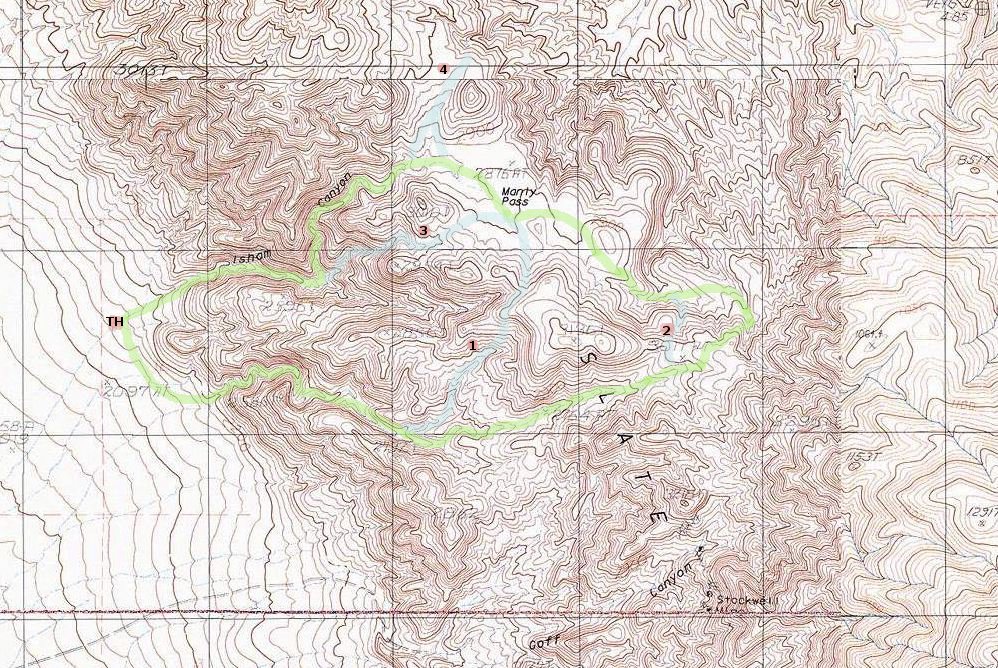
Click map to enlarge in new window!
|

|
|
|
|
Entire site,
Copyright ©
2003-2024
blackturtle.us

|
|