DISTANCE: 9.0 miles
GAIN/LOSS: approximately 2000 feet
HIGH POINT: 2980 feet
LOW POINT: 1200 feet
BEST TIME OF YEAR: October through April
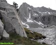
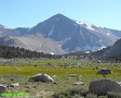
This loop hike explores Fish Canyon and an unnamed canyon to the southeast.
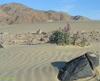
It follows a trail used for an annual horseback riding event down into Panamint
Valley. The mouth of Fish Canyon is reached by hiking a little over a mile
along the base of the Panamint Valley side of the Slate
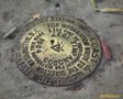
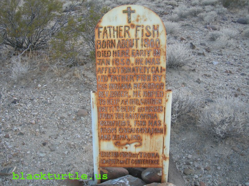
Range. Interesting historical markers are found in Fish Canyon which provide
information about Father Fish, the Bennett-Arcane Party, and other matters of historical interest.
|
Fish Canyon (click to enlarge)
IMAGES:
Fish Canyon (March 2013, Jan/Feb 2008, May 2007, May 2006)
|
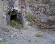
The road eventually leaves the canyon at a location marked with a BLM road
marker (P168) and a historical marker. It is possible to follow this road
back to the trailhead, but it is more interesting to continue up the canyon.
In fact, a little over a mile up the canyon are a couple more historical
markers. At this point the best option is to continue about 200 yards up the
southwest fork of Fish Canyon and then turn southeast and climb over a low ridge. Drop down into
the wash to the southeast and find a side canyon which continues to the
southeast. Follow it for about 1.7 miles back to the trailhead. (The best
route back to the trailhead is shown in blue and marked with the number
four. More on that below.)
Suggested Variations:
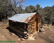
1. Fish Canyon - The alternative trailhead is Fish Canyon. It can be reached
from Searles Valley by continuing on P68 until Fish Canyon is reached. It
can also be reached from Panamint Valley. Consult a map for two different
ways of getting to Fish Canyon from Panamint Valley. In any case, the hike
may be started from the mouth of Fish Canyon or anywhere along the road up
to the P168 marker.
2. Two Monuments - Two historical markers are located here. This is a good
place to explore around a bit. Behind the markers is a dry fall. It is worth
the effort to hike around to the top of the falls. Just continue up the
southwest fork of the canyon about 200 yards from the markers and then hike over the ridge to the southeast and
then follow the wash down to the top of the dry falls. BTW, another similar
monument is located at the top of Pleasant Canyon in the Panamint Range.
3. Windrows of Sand - Hike to the northwest from the two monuments up the
southwest fork of Fish Canyon and find another marker at the top of a barren hill.
There should be trail markers along the way.
4. Direct Route - This is the preferred route back towards the trailhead
(marked in blue). The route recorded on the GPS is a little longer and less
|
direct. The route marked in red continues to the top of the northwest fork
of Fish Canyon and then follows
the ridge back around to the southeast fork of the canyon before continuing
up a side canyon to the trailhead.
5. P68/P168 - This is the approximate route of the road between Fish Canyon
and the trailhead. Somewhere along the way the designation seems to change
from P68 to P168, although it is unclear as to where this change occurs.
6. Horse Trail - It would be interesting to learn more about the history of
this route. At present it is used by a horse group once a year, usually late
in December. There is one side trail worth exploring. Also continuing down
the wash about a mile down this trail will take you directly to Fish Canyon,
thus making several loop variations possible.
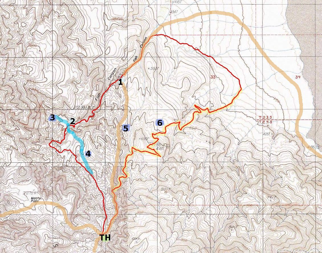
Click map to enlarge in new window!
|