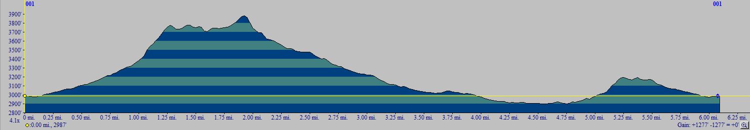
BRUCE DONKEY LOOP 01
DISTANCE: 6.1 miles
GAIN/LOSS: 1277 feet
HIGH POINT: 3890 feet
LOW POINT: 2910 feet
BEST TIME OF YEAR: October through April
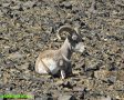
This hike follows a donkey trail the entire way. At times the trail can be
faint and at other times it is extremely steep, but it is a trail that
exists as a result of local donkey traffic. During a spring following
adequate rainfall this trail provides access to many areas where the hiker
is likely to encounter nice displays of spring wildflowers. Otherwise the
landscape is fairly barren and rocky, but the novelty of following a donkey
trail makes up for that!
|
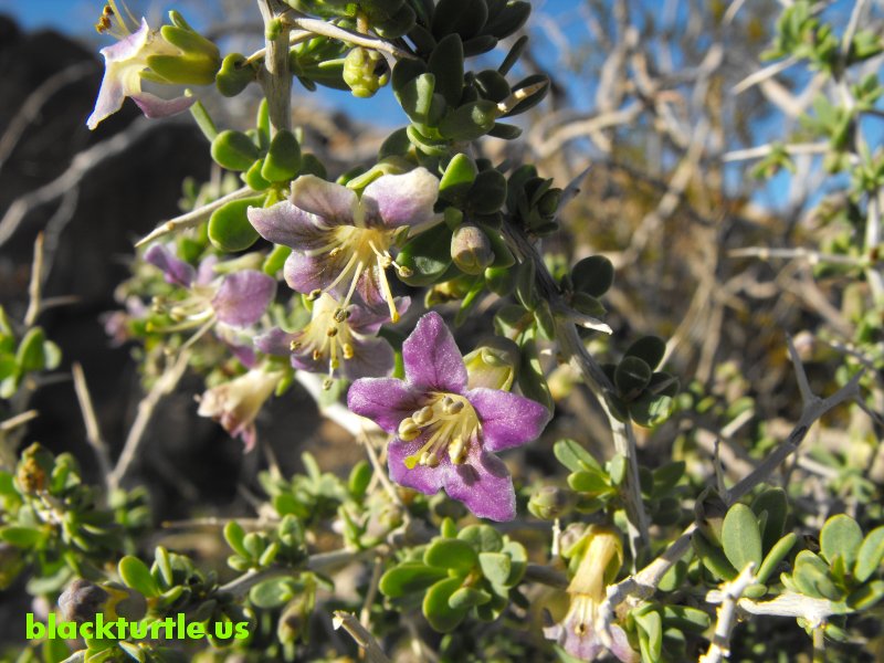
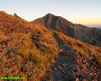
Box Thorn February 2010 (click to enlarge)
IMAGES:
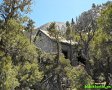
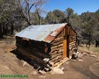
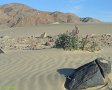
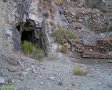
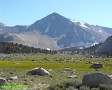
Bruce Canyon Area
|
TRAILHEAD: Drive north from the Inyo County line on Trona Road 6.5 miles
and turn left onto Homewood Canyon Road. Drive west 1.5 miles and turn right
onto P13 at the Inyo County Dumpster Bin Site. Follow P13 for 2.5 miles
(passing by route P7 along the way) and park at intersection with closed
road.
HIKE DIRECTIONS:
Hike up closed road about half mile to its end. From here the hike forms a
large loop which can be traversed in either direction. For the sake of
simplicity the route will be described in a clockwise direction. Hike up the
canyon, following donkey trails or the wash for about a half mile. Just
after Peach Spring find a donkey trail which ascends steeply up the north
ridge of the canyon. After a quarter mile and 400+ feet of elevation gain a
saddle is reached. Continue north following a donkey trail for about a half
mile and then another half mile as it veers up a drainage to the west.
(Parallel donkey trails exist above the drainage and so you may stay above
it depending on which route you take.)
At this point you should arrive at another saddle perched above an unnamed
canyon. Follow the donkey trail as it drops steeply to the northwest into this
canyon. Once you reach the canyon bottom follow the wash down the canyon for
a little over one and a half miles. Find a donkey trail on the south side of
the canyon and follow it as it gradually leaves the canyon (passing through
some dark brown igneous rock in the process) and continues
south along the base of the Argus Range. The donkey trail eventually, after
a bit over a mile, follows a drainage up to a ridge, through a saddle, and then down into Bruce
Canyon to complete the loop. Follow the road back to the trailhead.
Suggested Variations:
1) The loop portion of the hike can be done in either direction. There are
several places along the route where the trail is difficult to follow and
depending on the direction you go, these locations vary. A key location is
the base of the donkey trail down the ridge into the unnamed canyon. Going
counter-clockwise this point is reached after about four miles. Clockwise this
point is encountered at approximately 2.15 miles.
2) Short Cut - It's possible to cut straight from the trailhead to the
easternmost saddle along the route. Doing so saves approximately a half
mile. (This is the last of three saddles mentioned in the hike directions.)
From a point along the donkey trail as it drops into Bruce Canyon a ways
below the saddle, the trailhead is visible. The slope here is steep and
rocky and so it is recommended that this shortcut not be taken.
|
3) Instead of traversing through the easternmost notch, it is possible to
continue along the base of the Argus Range to the mouth of Bruce Canyon and
to walk up the canyon to the trailhead (or vice versa). This adds about three-quarters of a
mile to the hike.
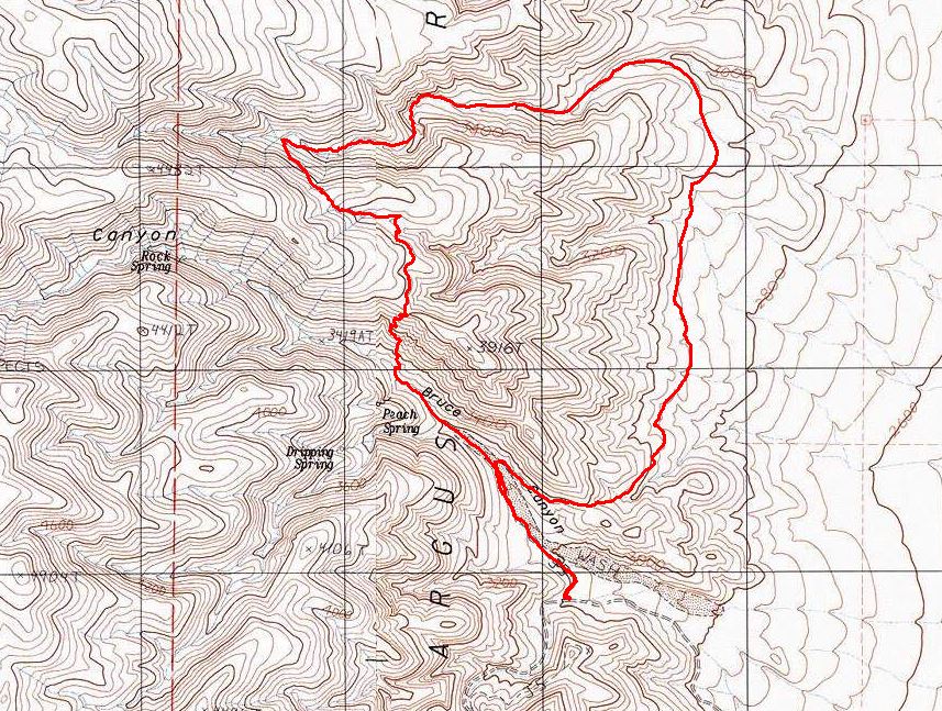
Click map to enlarge in new window!
|
|

|
|
|
|
Entire site,
Copyright ©
2003-2024
blackturtle.us

|
|